In the 18th century, Georgia was considered "debatable land" in a ceturies old imperial conflict between Britain and Spain. Britian had established colonies in South Carolina whild Spain had established colonies in Florida. Fort Frederica was built to protect the southern boundary of the new colony of Georgia. About 630 British Troops and 500 colonist once lived in the fortified city which was laid out according to Ogelthorpe's plan for fortified cities. The entire town was protected by a walled palisade and earthen rampart. The town inside was laid out in squares very reminiscent of my own home town of Savannah which was also planned by Ogelthorpe. The squares themselves were built with a military advantage in mind, being each square could become a defensive position in a battle.
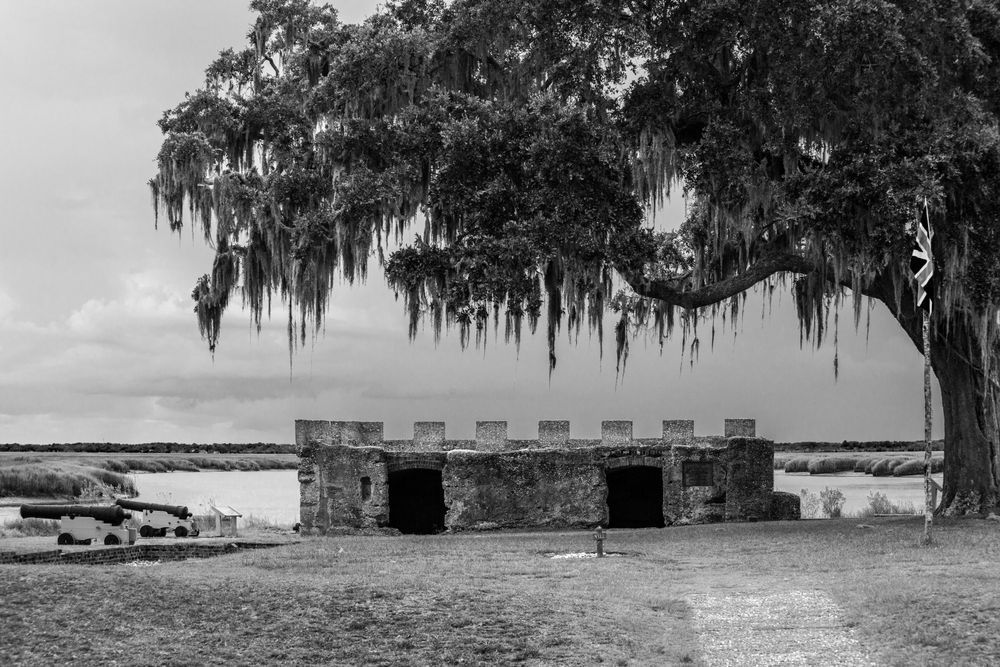
The rampart in the photograph above was laid out on the Frederica River to control ship travel. In 1742 the British repulsed the Spanish in the Battle of Bloody Marsh toward the end of the War of Jenkin's Ear. The casualties were light and the Spanish continued their campaign against St. Simon's Island. With clever deception and attacks, Ogelthorpe convinced the Spanish to retreat from Georgia, thus confirming that Georgia was Brithish territory.
The fine art photograph above is unique because it represents a historical aspect of Georgia's history along the coast. It is also the only thing that you'll find that looks similar to a castle that you might see in Europe. Indeed, in was built by British troops and colonist from England, Scotland, and the Germanic states.